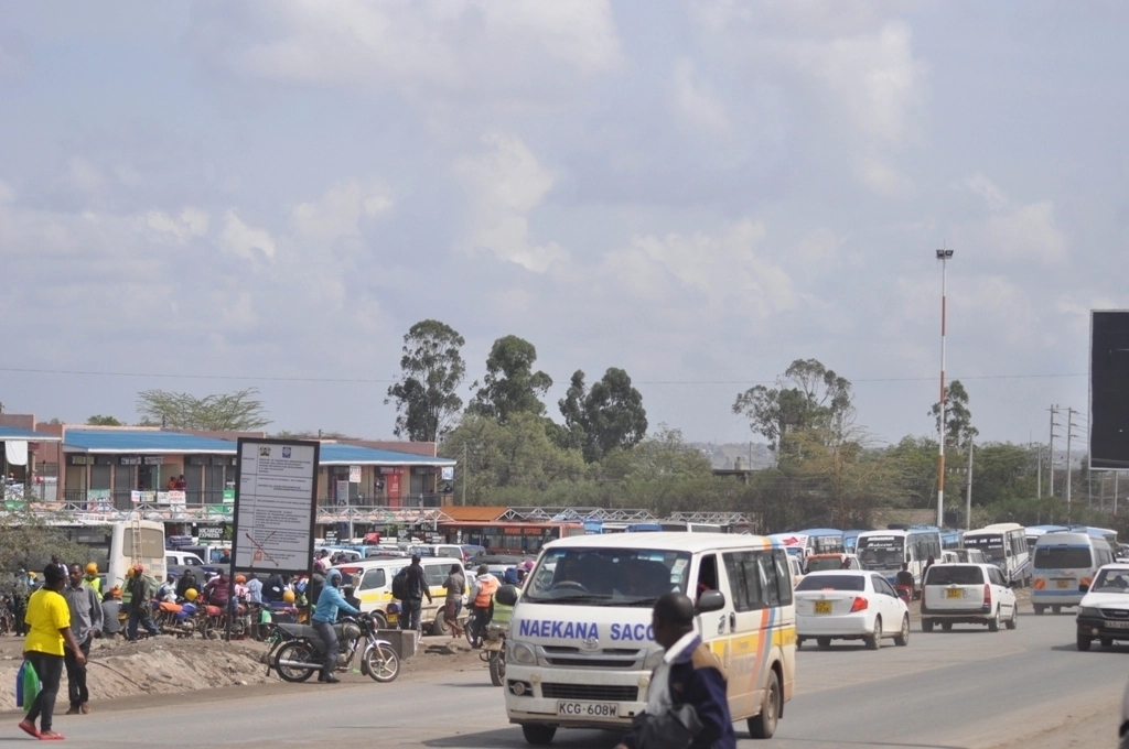
Kitengela municipality is located 30 kilometers from Nairobi city. It is approximately 7,439.50 hectares. Kitengela comprises of 2 Wards with 2 sub-locations. The wards and sub-locations include Kitengela and Oloosirkon Sholinke ward. Kaputei north wards; precisely, Kitengela and Kisaju sub locations.
Kajiado County with an area of 21,292J Km2 and a population of 687, 312 (2019 population census) is mother to 5 constituencies and 3 municipalities.

Topography and drainage
Kitengela municipality is part of a larger rangeland ecosystem called the Athi-Kaputei Plains. It is in a region of Undulating slopes, which become rolling and hilly towards the Ngong Hills. It lies at an altitude of about 1,700m above sea level and is characterized by gender slopes.
The main rivers & drainage areas are; Athi River, including Kisaju, Green valley, and Ilkeek Lemedungi River that are seasonal.
Climate
Kitengela is warm and temperate. Strong winds are experienced during the dry spells.
The area has a mean annual rainfall of 592mm with the driest months being August and September. The short rains fall between October and December while the long rain falls between March and May. The mean is 809.3 mm.
Temperatures in Kitengela ranges between 12.6″C to 14.9 “C and maximum between 23″C and 30 “C.
Water sources
Kitengela gets its water mainly from the Export processing zone. (EPZ). Water from the source undergoes full treatment before supply to the populace of Kitengela Municipality. Most of the rivers are seasonal hence unreliable as a source of water for the Municipality. Other sources of water provision are boreholes, wells and water pans.
Download Resources
Connect With Us
Kitengela Town,
Kajiado County.
Mon – Fri: 8:00 am – 5:00 pm
Useful Links
Municipal News & Updates
The latest Kitengela Municipality news, articles, and resources, sent straight to your inbox every month.


